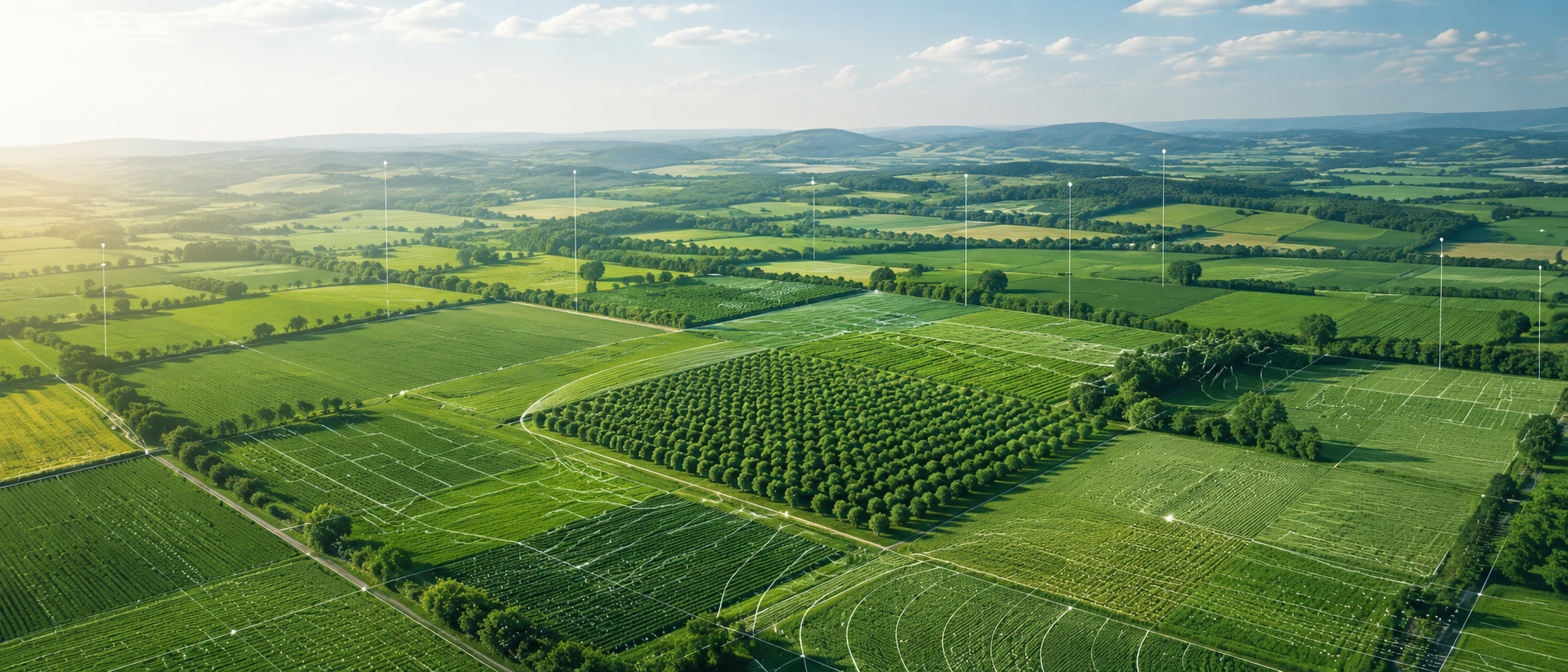
Projects for more precise and sustainable agriculture
At AgriGIS, we combine geographic information systems, remote sensing, and data analysis to support more efficient, sustainable, and precise agricultural management.
Projects developed with geospatial technology
Our projects use GIS, remote sensing, climate data, and digital tools to improve agricultural analysis
Comparative analysis of UAV and satellite imagery
Project developed at the University of Novi Sad (UNS), Serbia, focused on evaluating the use of drones and satellites for agricultural monitoring and precision agriculture.
Climate Challenges and GIS Solutions
Project developed at the University of Novi Sad (UNS), Serbia, focused on analyzing and classifying climate data using GIS tools to support agricultural studies and environmental assessment.
Land-Use Database Updating with Remote Sensing and GISApp
Project developed at the Universitat Politècnica de València (UPV), Spain, focused on updating land-use data through GIS and remote sensing. The work used cadastral parcels, imagery analysis, and classification techniques to detect changes in agricultural areas.
GIS Data Model for Borbotó’s Agricultural Area
Project developed at the Universitat Politècnica de València (UPV), Spain, focused on creating a geospatial data model for Borbotó’s agricultural area using GIS tools, official spatial datasets, and environmental analysis.
Geospatial resources and tools
AgriGIS App
- Explore interactive agricultural maps.
- Visualize geospatial data in a simple way.
- Access useful information for analysis and decision-making.


Maps, data, and technical reports
- Analysis of satellite imagery and climate data.
- Development of thematic maps for agricultural studies.
- Results applied to land management and environmental assessment.
“We turn geospatial data into real decisions for more precise, efficient, and sustainable agriculture.”
AGRI-GIS