Partners begin shaping the project’s implementation roadmap, key lines of action, and collaborative working framework.
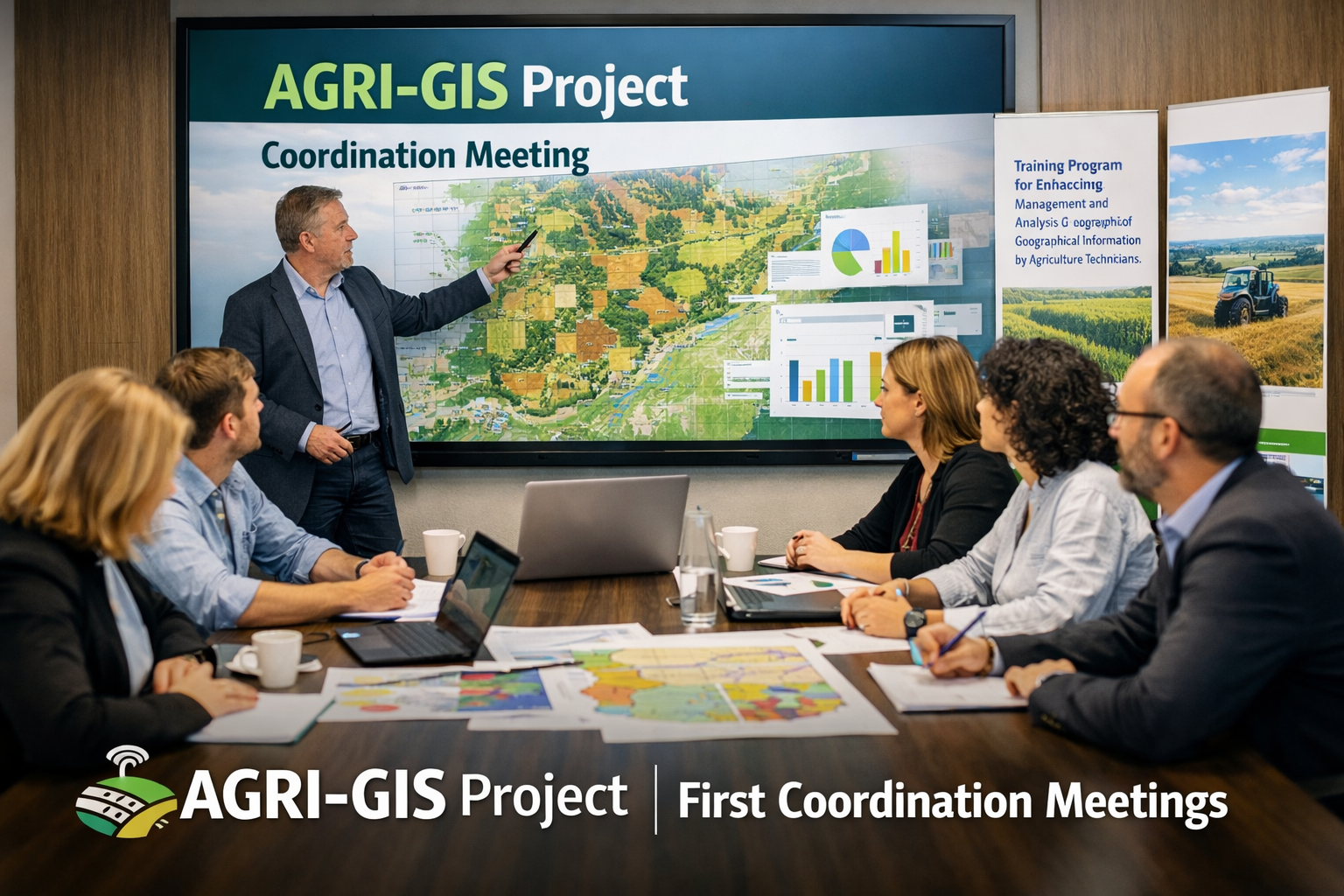
The AGRI-GIS project has officially taken its first steps forward with the celebration of its initial coordination meetings. These sessions marked the beginning of a shared working process among project partners and provided an important opportunity to define the foundations for the project’s implementation.
During the meetings, partners discussed the main objectives of the project, the overall structure of the upcoming work, and the first strategic lines of action that will guide its development. The exchanges also focused on coordination methods, collaboration between institutions, and the planning of the first stages of implementation.
As a project titled Training Program for Enhancing the Management and Analysis of Geographical Information by Agriculture Technicians, AGRI-GIS aims to strengthen skills and capacities in the use of geographical information within the agricultural sector. These first meetings helped align perspectives, clarify priorities, and set the basis for an effective and coordinated start.
This initial phase reflects the commitment of all partners to work jointly toward a practical, innovative, and impactful project. More updates on AGRI-GIS activities and progress will be shared soon through the website.
Leave a Reply