
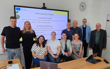
The international consortium of the AGRI-GIS European project recently met in Prague (Czech Republic) to evaluate the progress of its research lines and coordinate the upcoming phases of development. During the meeting, partners from the various participating European entities worked collaboratively on the design and optimization of innovative geospatial tools aimed at accelerating the digital transformation of the agricultural sector.
Progress Evaluation and Technological Synergies
The follow-up meeting served to review the milestones achieved to date, paying special attention to the integration of Geographic Information Systems (GIS) and smart solutions applied to land management. The working teams shared key knowledge and pooled the experiences acquired in their respective regions, which allowed for the validation of the methodological approaches used and the consolidation of technical criteria for the project’s training and technological tools.
Strategic Planning and Rural Resilience
In addition to auditing current progress, the working sessions enabled the definition of the roadmap and actions to be implemented in the coming months. Institutional representatives reaffirmed the project’s commitment to creating a more efficient, resilient agricultural model prepared for the current climate and socio-economic challenges facing European rural areas.
Leave a Reply